North Saqqara
The North Saqqara plateau was the main elite cemetery of Memphis in the Early Dynastic Period. For decades, the possible identification of the First Dynasty royal tombs dominated the debate around the cemetery. As a result, scholars focused their efforts in studying the larger tombs of this time-period, leaving more than one hundred and sixty excavated structures unstudied and unpublished. Notably, a significant portion of these tombs date to the Second Dynasty, a period still comparatively little understood.
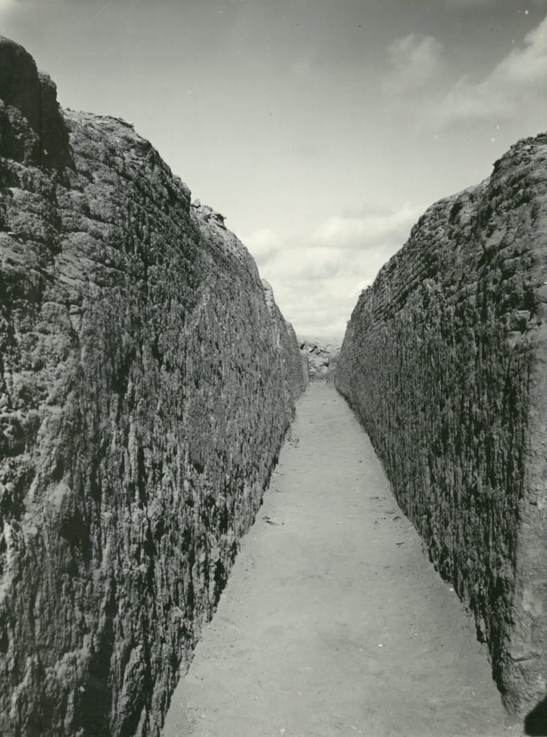
Figure 1. ‘Street’ of the cemetery that shows the density of the mastaba cluster (courtesy of Geoffrey T. Martin and the Isaac Newton Trust)
Archaeological excavations have been conducted at the site since the early twentieth century. Auguste Mariette, James E. Quibell, Cecil M. Firth and Walter B. Emery led the archaeological efforts of the Egyptian Ministry of Antiquities. In the 1950s the Egypt Exploration Society took over the excavations at the site under the direction of scholars like Walter B. Emery, Geoffrey T. Martin, or Harry Smith. These works not only uncovered Early Dynastic tombs, but they also revealed some of the most monumental animal catacombs in the Nile Valley.
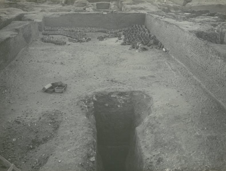
Figure 2. Empty core of monumental mastaba tomb of the Second Dynasty (courtesy of Geoffrey T. Martin and the Isaac Newton Trust)
With the help of the EES Centenary Award, this project hopes to bring together information from the archives related to these excavations, including the data of the geomagnetic survey led by Ian Mathieson. Both published and unpublished documents will be revisited and integrated in order to achieve a better-rounded understanding of the site. Although a comprehensive plan of the necropolis does not exist, a preliminary analysis of the documentation shows that its reconstruction will be possible, at least partially. Although the necropolis has often been presented as a series of scattered First Dynasty tombs, the reconstructed plan shows that it was densely populated towards the end of the Third Dynasty.
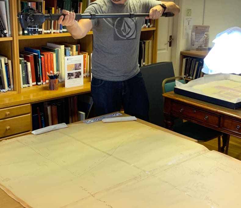
Figure 3. Photogrammetry was used for the digitization of a large plan of the necropolis in fragile condition (courtesy of the Egypt Exploration Society)
The archival records that have survived are not complete, and a topographic survey of the site is intended in order to find the location of some partial plans of the cluster. Thanks to the EES Centenary Award we hope to undertake one season of fieldwork, collecting data for a photogrammetric survey. The outcome of this topographic survey will be offered to the Ministry of Tourism and Antiquities and its local authorities, hoping that it will aid research and site management.
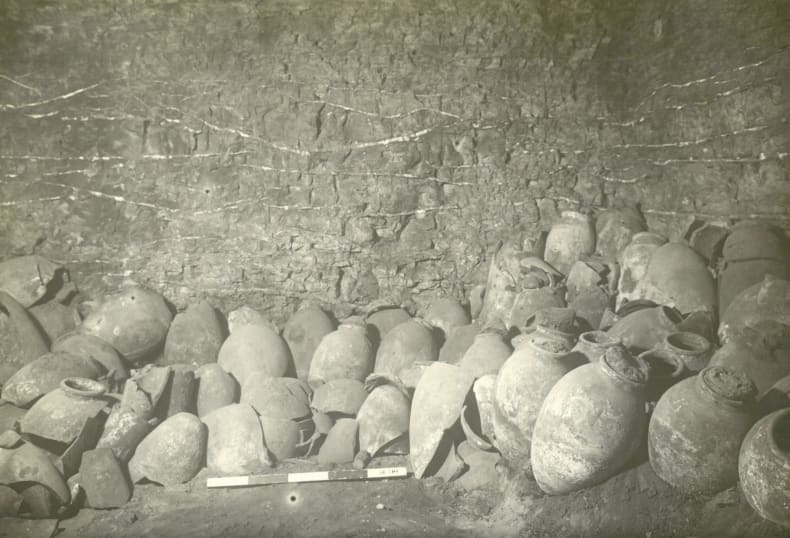
Figure 4. Pots found in situ by the excavations of W. B. Emery in the 1930s (courtesy of Geoffrey T. Martin and the Isaac Newton Trust)