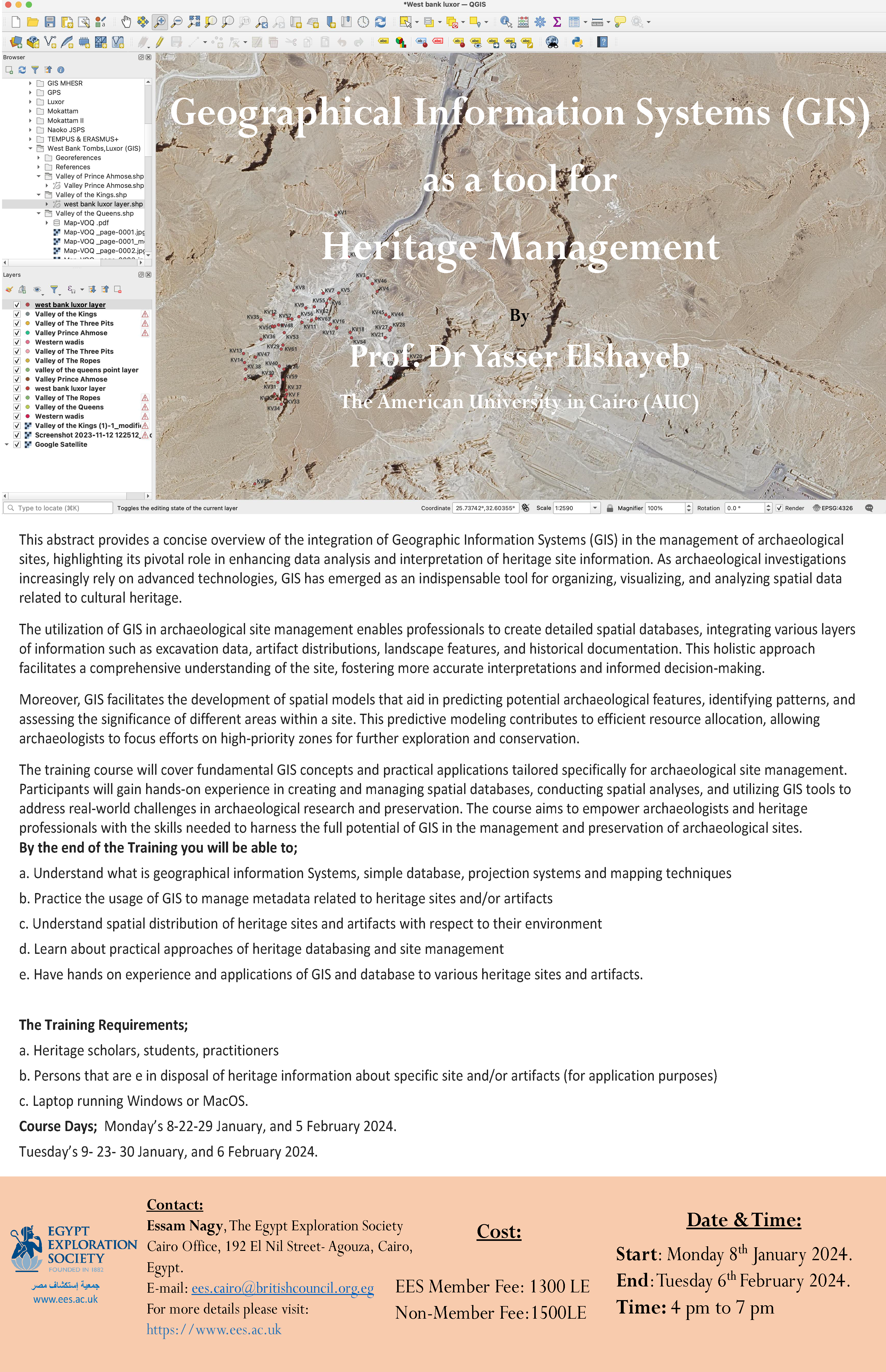
The training course will cover fundamental GIS concepts and practical applications tailored specifically for archaeological site management. Participants will gain hands-on experience in creating and managing spatial databases, conducting spatial analyses, and utilizing GIS tools to address real-world challenges in archaeological research and preservation. The course aims to empower archaeologists and heritage professionals with the skills needed to harness the full potential of GIS in the management and preservation of archaeological sites.
By the end of the training you will be able to:
a. Understand what is geographical information Systems, simple database, projection systems and mapping techniques
b. Practice the usage of GIS to manage metadata related to heritage sites and/or artefacts
c. Understand spatial distribution of heritage sites and artefacts with respect to their environment
d. Learn about practical approaches of heritage databasing and site management
e. Have hands-on experience and applications of GIS and database to various heritage sites and artefacts
The Training Requirements:
a. Heritage scholars, students, practitioners
b. Persons that are in possession of heritage information about a specific site and/or artefacts (for application purposes)
c. Laptop running Windows or MacOS
Click on the poster to download as a PDF.